Less than a decade before American Revolution, the settlers here saw an end to violent boundary disputes. William Penn hired a pair of English surveyors, Charles Mason and Jeremiah Dixon, to mark the Pennsylvania boundary to the south. Starting in 1764 from their camp base at the Harlan farm in West Bradford, the surveyors began the five-year task of documenting what would become the Mason-Dixon Line between Pennsylvania, Maryland, Delaware and Virginia (later West Virginia).
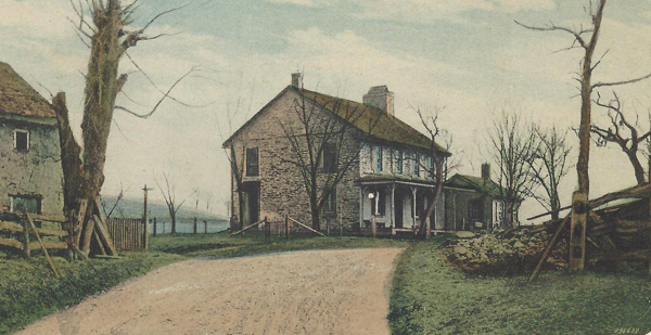
Mason, Dixon and their workmen camped at John Harlan’s Farm. Postcard courtesy of the family of the late Bill & Florence Supplee.
Starting from their camp base at the Harlan farm in West Bradford, the surveyors began the task of documenting the Mason-Dixon Line.
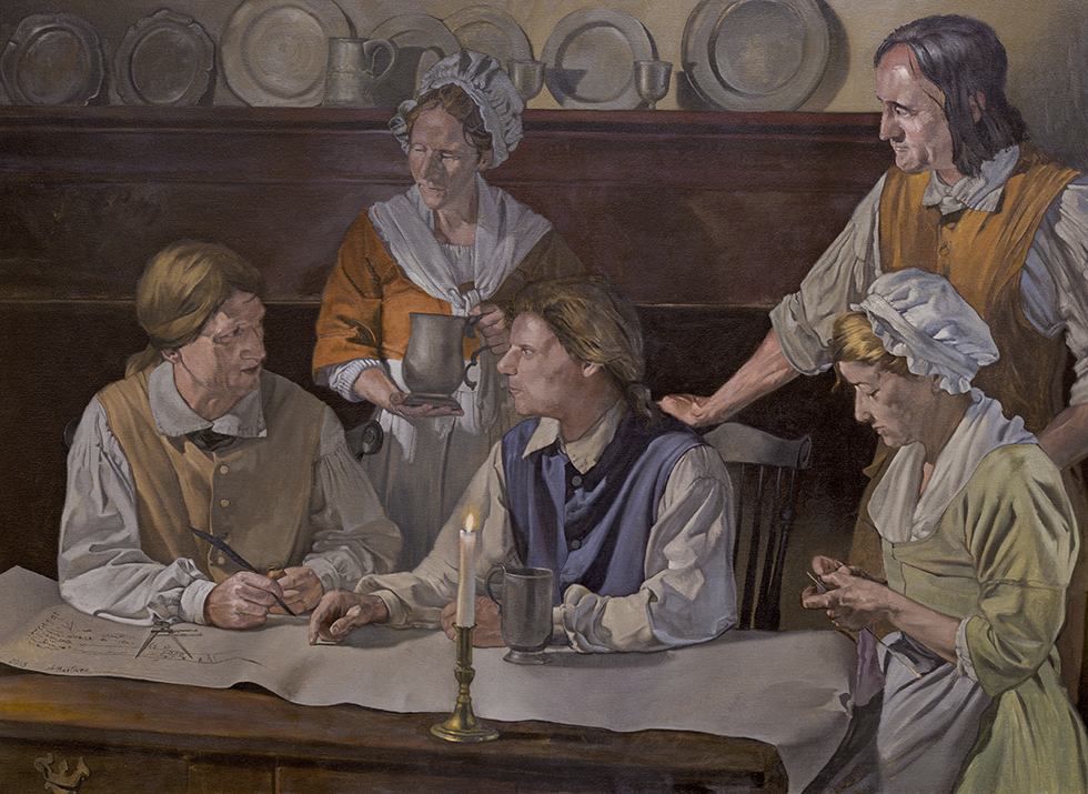
A Quaker farmer named Joel Baily, Humphry Marshall’s brother-in-law, was hired for his skills in clock-making and surveying. Baily proved expert at operating the “Shelton clock,” a measuring device shipped from England. Without it, Mason and Dixon could not begin their southward measurements, achieving a constant latitude that would take them through more than 200 miles of forests, swamps and mountain terrain.

Drawing the Line by Adrian Martinez.
Mason and Dixon travelled with a small band of “chain-bearers, rod-men, axe-men, cooks and baggage carriers,” laying limestone slabs to mark each mile of the boundary. The first of these markers – now part of the Natural Lands’ ChesLen Preserve – was named the “Stargazer’s Stone” by the Harlan brothers after they observed Mason and Dixon staring at the night sky, calculating latitude and longitude from the stars.
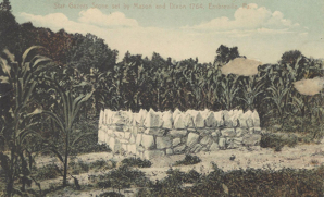
The Stargazer’s Stone can still be seen today. Visitors have access from a parking area of ChesLen Preserve. Postcard courtesy of the family of the late Bill & Florence Supplee.